

The Copper Forest
In the heart of the Serranía de Ronda, the Copper Forest transforms the Genal Valley each autumn into a spectacle of golden and reddish tones. Its trails, winding among chestnut trees and white villages, invite you to lose yourself in a storybook landscape.
A perfect destination to enjoy nature and rural charm.
A natural spectacle
The Copper Forest encompasses twelve villages of the Genal Valley, where chestnut trees cover the landscape in golden and reddish tones during autumn. Their mix with holm oaks, cork oaks and cherry trees creates a unique natural setting in Málaga. From late October to December, you can explore this spectacle by following signposted trails such as the GR-141 or the local PR-A routes, which connect forests, viewpoints and white villages.
Beyond its natural beauty, the Copper Forest is also a key cultural and economic resource for the region.
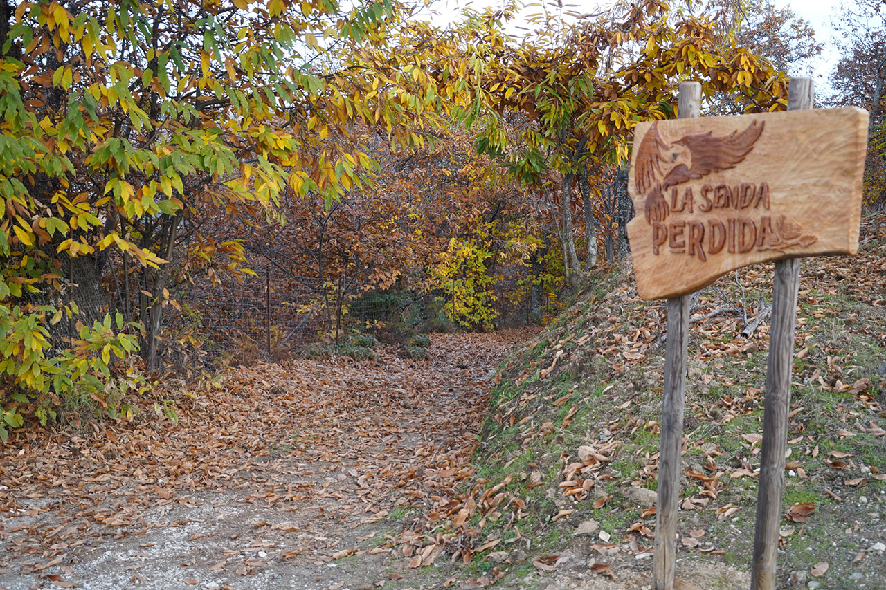
The Lost Path
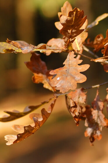
An exceptional natural setting with high ecological value. During this season, the landscape takes on ochre and golden tones that have earned it the name Copper Forest. Its extensive network of trails offers the opportunity to connect with nature and discover the characteristic white villages of the province of Málaga.
Walking among art and nature
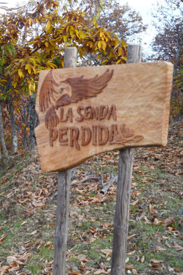
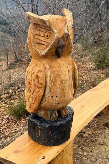
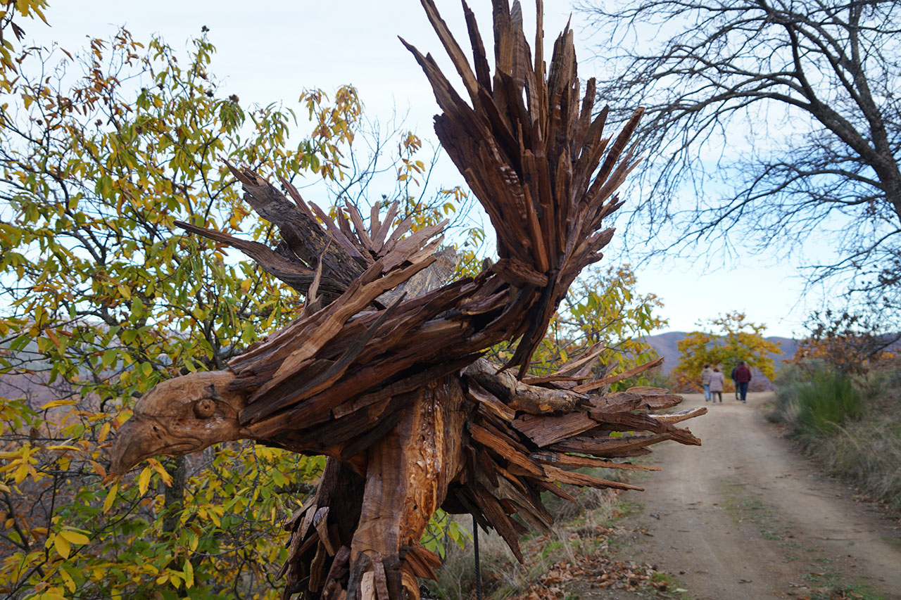
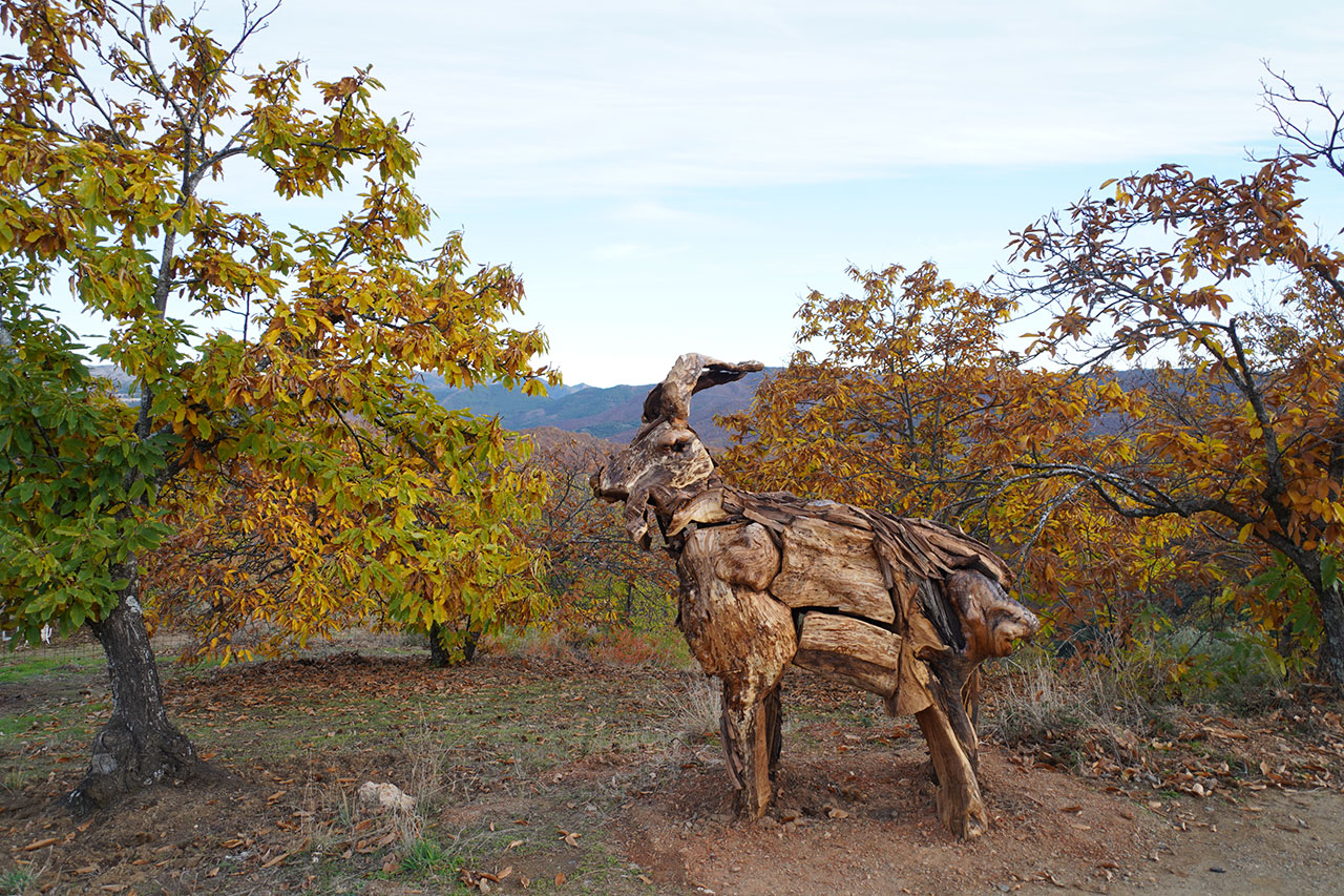
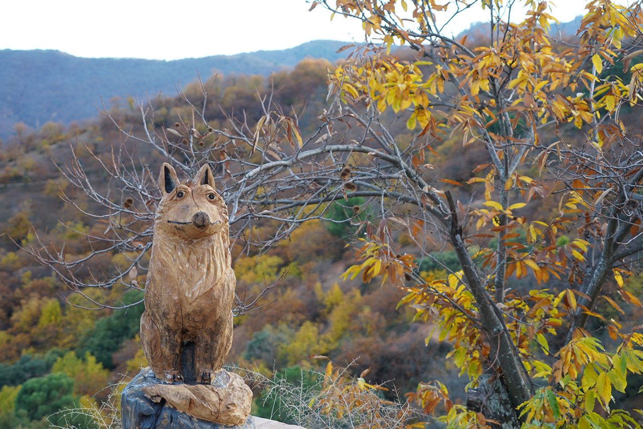
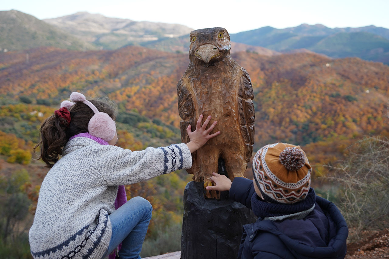
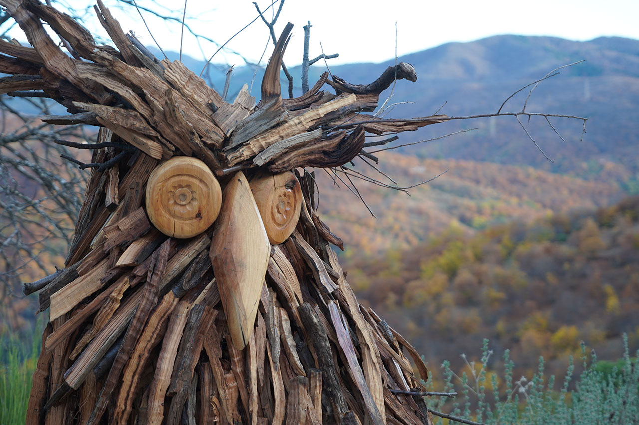
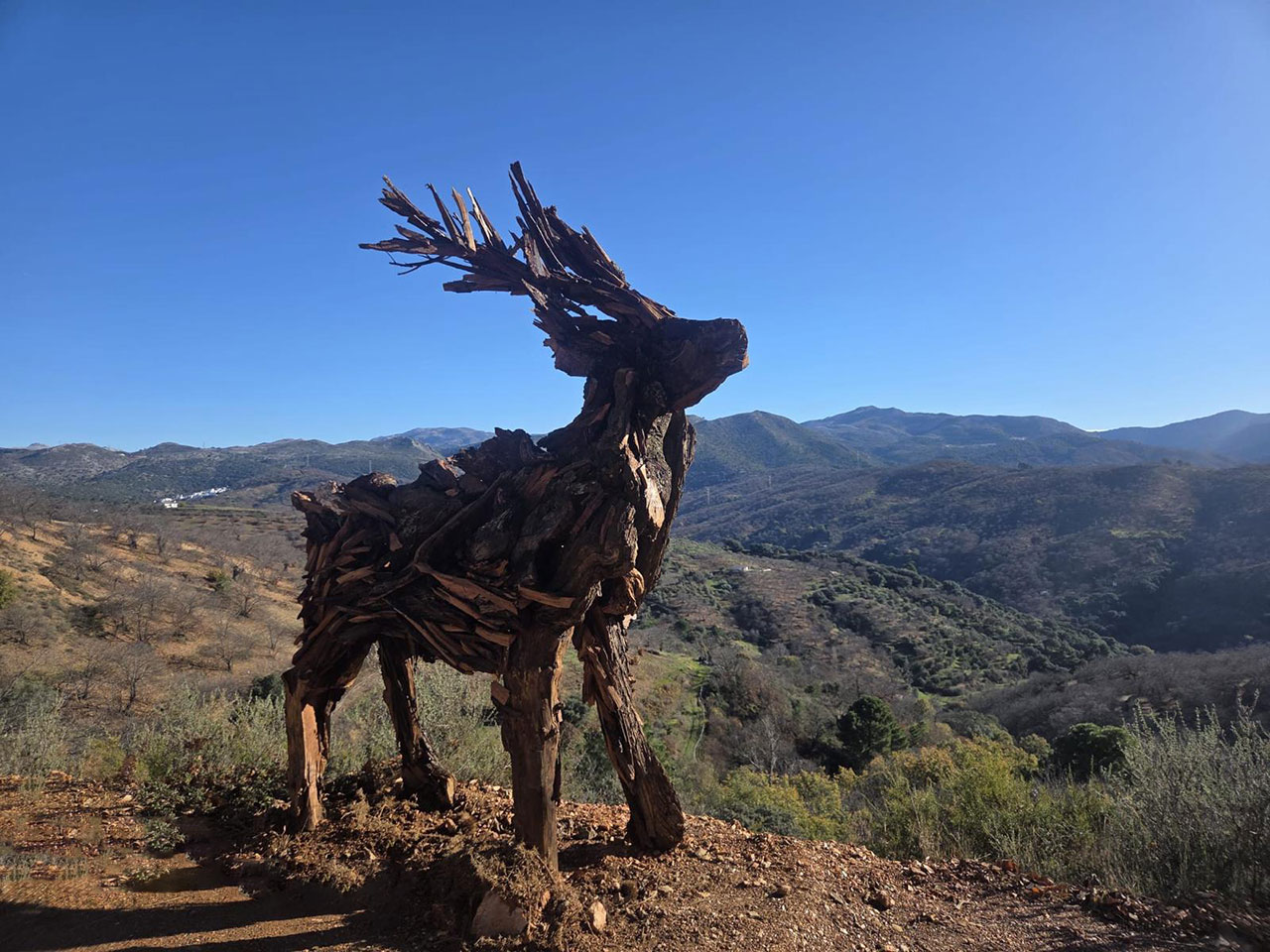
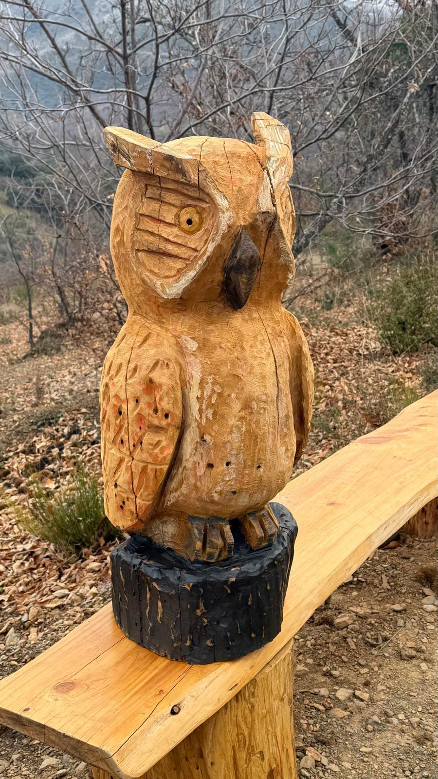
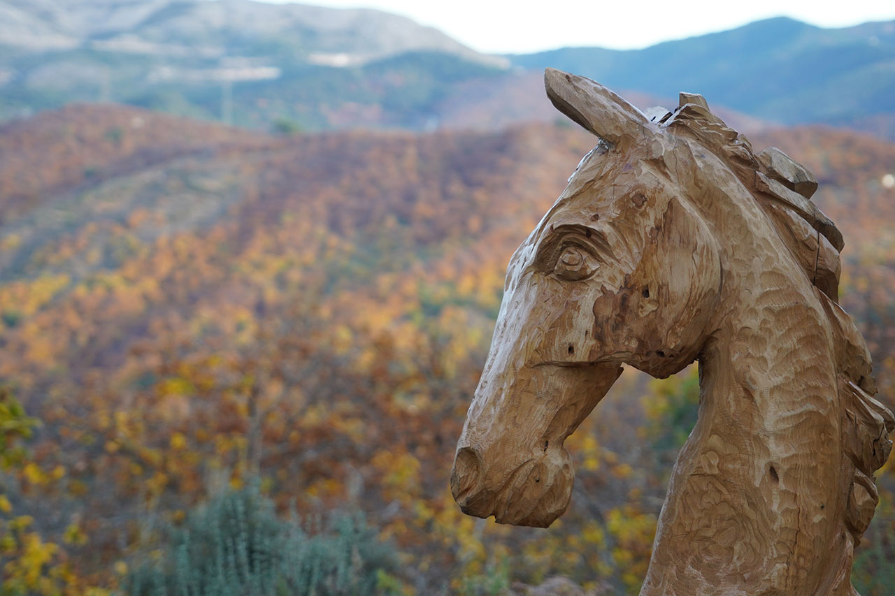
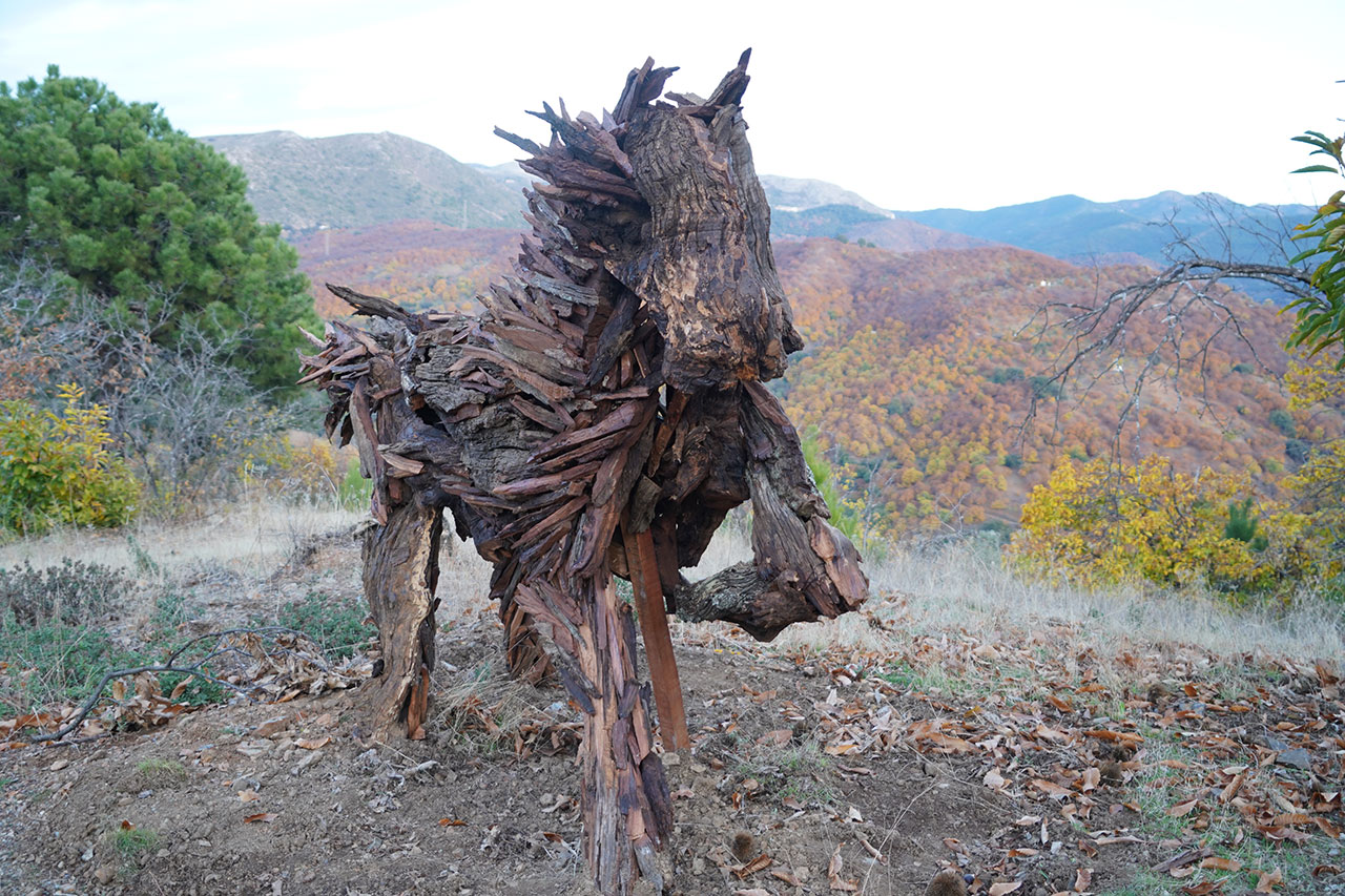
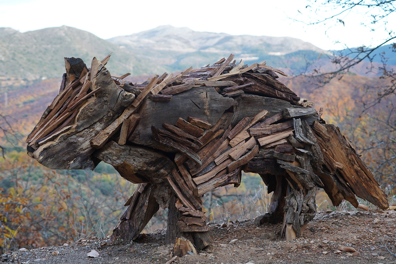
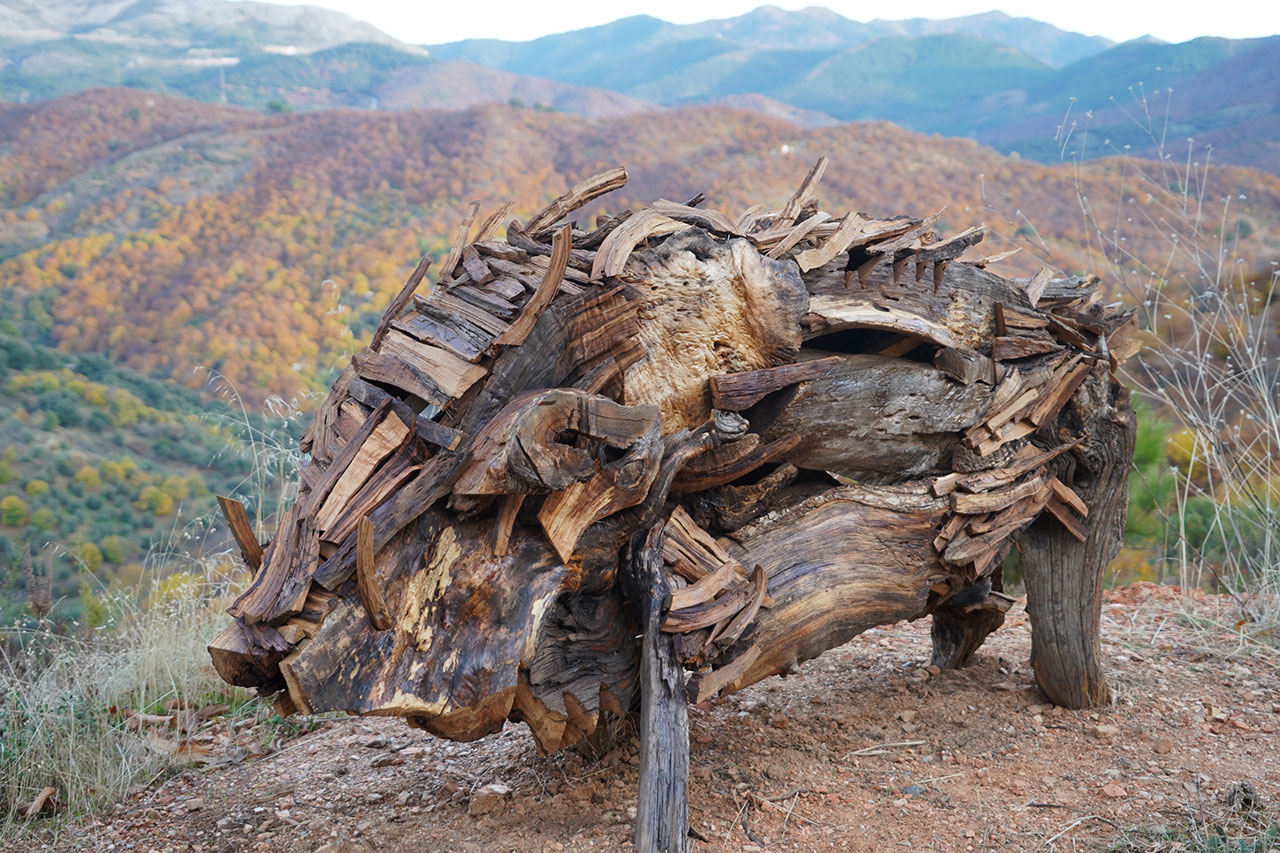
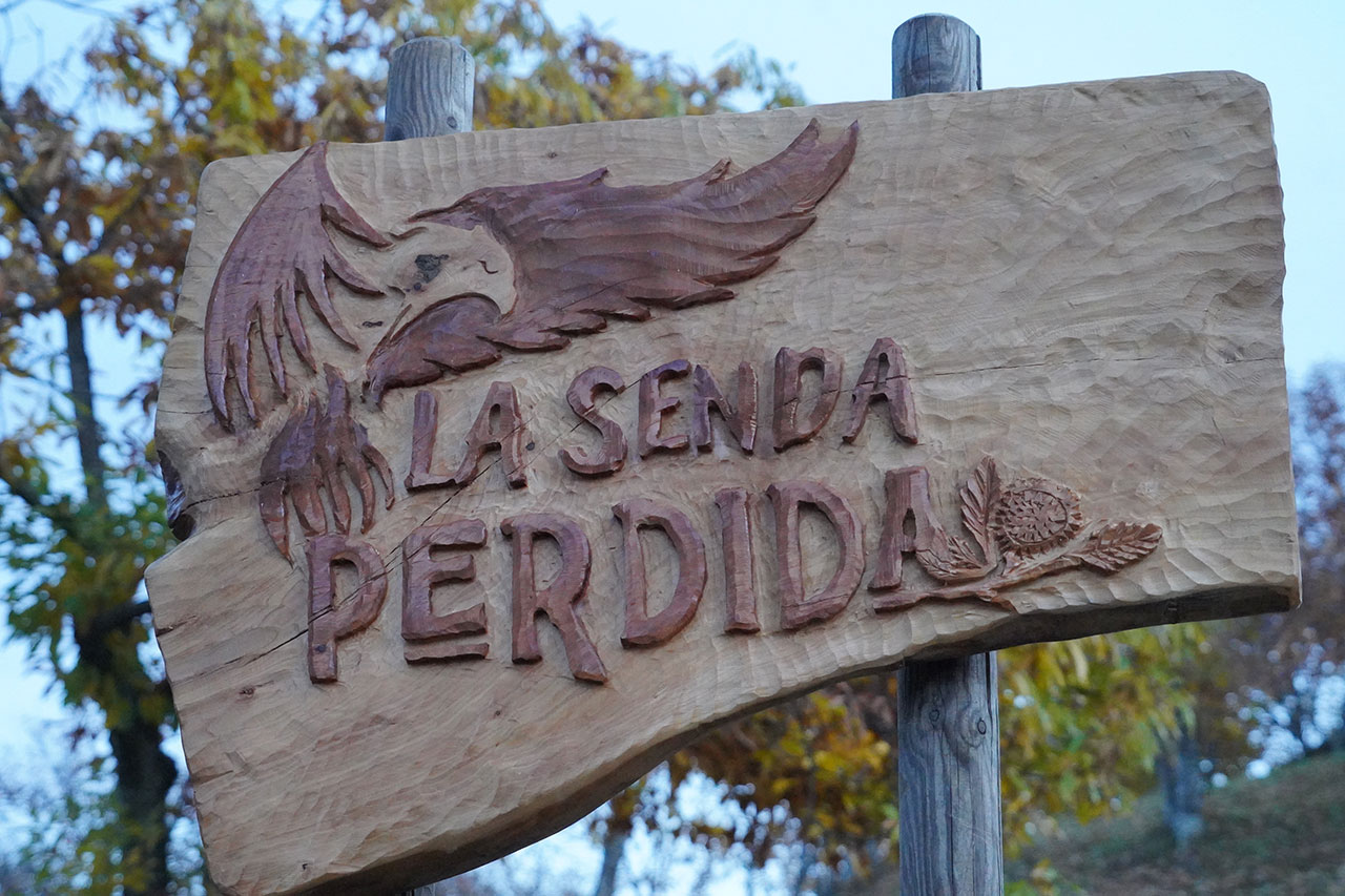
With the aim of promoting nature tourism, the Cartajima Town Council has created an open-air route that combines art and landscape: the Lost Path. Along this trail, visitors can admire works by sculptor Diego Guerrero, crafted from the wood predicted from dry chestnut trees in the Genal Valley, trees affected by drought. The sculptures, inspired by the fauna of the Serranía de Ronda, invite reflection on ecosystem conservation and the challenges posed by rural depopulation.
Along the route, it is possible to find sculptures representing different animals, such as the eagle, the ram, the wolf, the owl, the wild boar, the horse, the fox or the deer, all naturally integrated into the surrounding environment.
Watch video
We thank Arunda Senderismo for allowing us to include their La Senda Perdida video on our website. Their work helps to showcase this unique environment and to highlight hiking and the area’s natural heritage.
Among chestnut trees and white villages
PR-A-224 from Cartajima to Júzcar
The PR-A-224 trail connects Cartajima and Júzcar along 2.9 km, a linear route that can be completed in approximately one hour. It is an easy path suitable for the whole family, with a few gentle climbs.
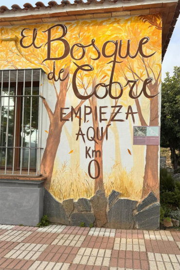
It begins on Calvario Street in Cartajima, where it is worth taking a stroll beforehand to enjoy the murals. From the starting point, you can admire a beautiful view of Los Riscos, a striking landscape of limestone formations.
The path heads south, passing through chestnut trees, olive trees, cherry trees and small orchards, and running near traditional fountains such as Los Peces and Las Calenturas. After crossing the Blanco stream and ascending through holm oak groves and chestnut woodland, you reach the road to Júzcar, then descend to the Ereta neighbourhood, where the route ends.
PR-A-222 from Cartajima to Parauta
The PR-A-222 trail connects Cartajima and Parauta along 4.5 km, which can be completed in about an hour and a half.
It begins at the end of Ancha Street, next to the impressive Arenas chestnut tree — a unique specimen over 300 years old and of great size, highly valued by locals.
The path descends along slopes covered with chestnut trees that in autumn turn yellow and ochre, creating very picturesque landscapes. You will also pass vineyard plots, known for producing the mostos celebrated during a festival in November.
Further on, you reach the junction of several streams that form the Nacimiento River, one of the main tributaries of the Genal. You will pass the ruins of the Molino Real and cultivated areas surrounded by chestnut trees, sumac and strawberry trees.
The trail ends in Parauta, after passing the Nueva and Fuentezuela fountains, with views of the Almola ravine and Los Riscos, one of the most beautiful torcales in Andalusia.
In addition, from Parauta you can continue on to Igualeja via the PR-A-226 trail.
GR 141.2 from Cartajima to Pujerra
The GR-141.2 trail connects Cartajima and Pujerra over 4.5 km, with an estimated walking time of about an hour and a half. It forms part of the Great Route of the Serranía de Ronda and is well signposted.
It begins on Calvario Street in Cartajima and descends along the Camino del Helechar, passing near the Mirador del Quince recreational area. The route crosses a beautiful chestnut grove with holm oaks, cherry trees, strawberry trees and cork oaks, along stretches with steep gradients.
At kilometre 3, the trail crosses the Genal River by a bridge at Molino de Capilla, a place linked to the legend of the Visigoth king Wamba, who was found here working the land as he initially resisted being crowned.
Afterwards, the route joins the PR-A-225, crossing the road again and climbing up to the Mirador de la Cruz in Pujerra. From there you can enjoy panoramic views of Cartajima, Cancho de Almola, the Sierra del Oreganal and Los Riscos, a spectacular rocky torcal.
PR-A-222 from Cartajima to Igualeja
The itinerary connects Cartajima and Igualeja, crossing dense chestnut groves and the Nacimiento River valley, on a route with considerable elevation change and wide panoramic views of the Genal Valley.
It begins next to the Church of Nuestra Señora del Rosario in Cartajima, and descends along a track through chestnut trees, passing by the monumental Castaño Arenas and offering views of Los Riscos, the Armola plateau, Malhacer hill and the nearby villages.
The path continues descending among chestnut trees and other Mediterranean species until it reaches the Nacimiento River, where the PR-A 222 is left behind, the riverbed is crossed by a ford and the route connects with a track that climbs in bends up the Igualeja ridge, once again surrounded by chestnut groves and natural viewpoints over the valley.
After topping the ridge, the route continues along the Halda path, passing estates and small streams, and finally descends along a narrow trail flanked by prickly pears, fig trees and chestnut trees, entering Igualeja via Hiladero Street. Once in the village, visitors can explore its fountains, ceramic panels and the church of San Gregorio Magno and Santa Rosa de Lima.
GR 141.2 from Cartajima to Ronda (stage 4 of the Great Trail of the Serranía de Ronda)
The GR 141.2 trail connects Cartajima with Ronda along a moderately difficult route of just over 12 kilometres, considered one of the most impressive in the entire Serranía.
The hike begins in Cartajima, heading towards the Fuente de la Higuera and the Cortijo de las Aguzaderas. Afterwards, the route skirts Malhacer hill and the imposing Cancho de Almola (1,406 m), crosses the Bolones stream and continues alongside the Tajo del Palomar.
The highest point of the route is the Puerto de las Cruces, from where there are wide panoramic views towards the mountains of the Sierra de las Nieves National Park, the Genal Valley, the vast pastureland plain surrounding the city of Ronda, and the nearby aggregate quarry.
On the descent, the trail passes by the Fuente de los Arrieros and crosses the Planilla stream several times. Once the track is reached, all that remains is to walk between estates and olive groves on the outskirts of Ronda.
The route ends in the San Francisco neighbourhood.
The Riscos of Cartajima
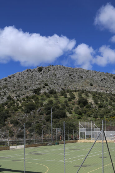
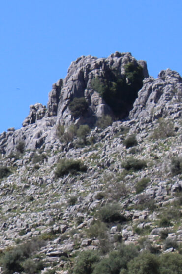
In the rugged Sierra del Oreganal lies this group of limestone rocks, one of the most beautiful geological landscapes in the Serranía de Ronda. The combined action of rain and wind over thousands of years has sculpted these rocks, creating whimsical and original shapes that resemble natural sculptures.
Caves and Sinkholes
Characteristic formations of karst landscapes, where limestone is shaped by the action of water. Caves are underground cavities with horizontal galleries or wide spaces that allow exploration and passage. Sinkholes, on the other hand, are vertical cavities or deep shafts, often with narrow entrances, that may connect to cave systems or underground rivers.
In the area of the Riscos of Cartajima, these formations are the result of limestone dissolution, giving rise to a landscape of torcales, crevices and sinkholes that form an ecosystem of high environmental value and a tourist attraction for hikers and speleologists.
The Arenas Chestnut Tree
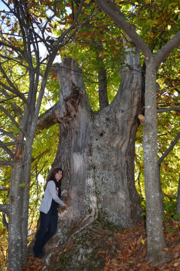
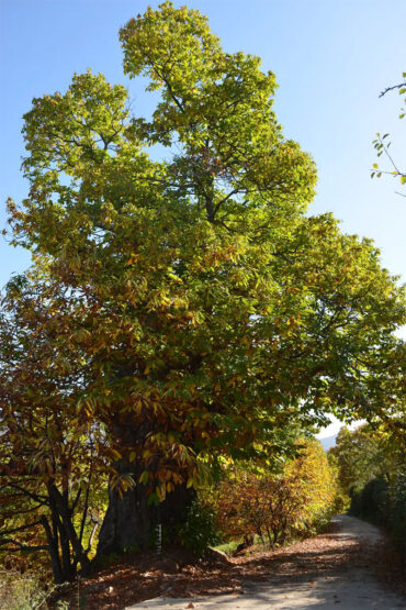
The Castaño Arenas de Cartajima is a monumental, centuries-old tree in the Genal Valley, famous for its impressive size. It has been an essential part of the area’s agricultural life and tradition for generations. Today it is a natural attraction frequently visited by hikers and landscape lovers.
Singular specimen
The Castaño Arenas is a singular specimen located in the municipality of Cartajima (Genal Valley, Málaga), and is part of the Catalogue of Singular Trees and Woodlands of Andalusia. It has an approximate height of 17 m, a perimeter of more than 7 m at 1.30 m above the ground, and reaches 10.20 m at its base.
It is located next to the Molino Real path, at the beginning of a northeast-facing slope that descends toward one of the valley’s streams. This tree is a witness to the chestnut-growing tradition of the area and serves as a landmark on hiking routes through the chestnut forests of the Upper Genal.