

Region of the Serranía de Ronda
Located between the Campo de Gibraltar, the western Costa del Sol, the Hoya de Málaga, the Antequera Depression and the Sierra de Ubrique, this region is more than just a group of mountain ranges.
Nature, Tradition and Heritage
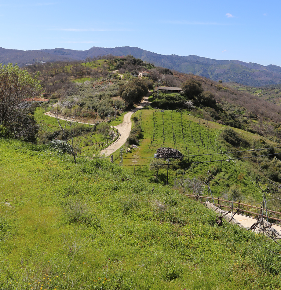
From the city of Ronda, a territory of forests, rivers and mountains stretches out, linking with the Genal Valley, the Guadiaro Valley and the flatlands of Málaga.
To the north, holm oak groves and open fields predominate; to the south, chestnut, cork oak and holm oak forests mix with olive groves and fruit trees. In the centre, the pinsapar fir forests of the Sierra de las Nieves National Park dominate the landscape.
A region made up of villages that live from agriculture, livestock farming, forestry and craftsmanship. Cork is produced in Cortes de la Frontera, chestnuts in the Genal, Iberian cured meats in Ronda, Montejaque and Benaoján, as well as honey, cheeses, aromatic plants and handcrafted furniture.
Local products
Honey, chestnuts, cheese and cured meats.
Craftsmanship
Ceramics, ironwork and wooden furniture.
Municipalities of the region
- Algatocín
- Alpandeire
- Arriate
- Atajate
- Benadalid
- Benalauría
- Benaoján
- Benarrabá
- Cartajima
- Cortes de la Frontera
- Faraján
- Gaucín
- Genalguacil
- Igualeja
- Jimera de Líbar
- Jubrique
- Júzcar
- Montejaque
- Parauta
- Pujerra
- Ronda
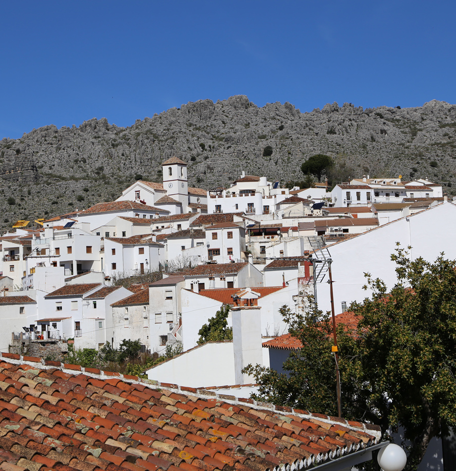
Geographical data of Cartajima
36º 38”
Latitude
-5º 09”
Longitude
21 km
Area
846 m
Above sea level